Head of Laboratory - PhD (Agrarian Sciences)
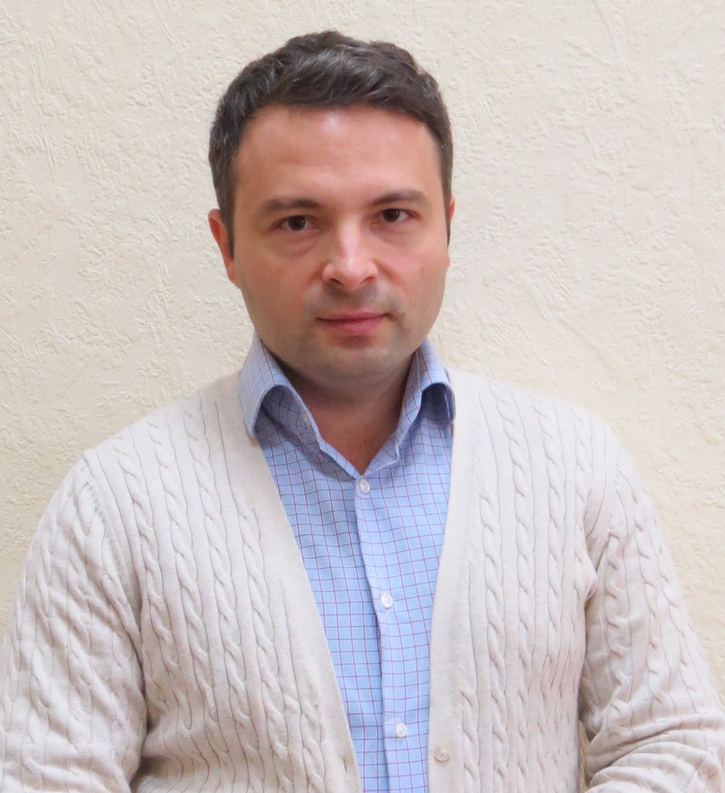
Valeriy Kolyada
Е-mail: koliadavalerii@gmail.com
Download the Presentation of the Laboratory
Leading researchers
Shevchenko Mikola – Dr. (Agrarian), docent, Senior Researcher
Phone: +38(0572) 99-78-10, E-mail: zemlerobstvo@knau.kharkov.ua
ORCID ID –https://orcid.org/0000-0003-4915-1435
Oleksandr Kruglov - PhD (Geological), Senior Researcher
Phone: +38(096)3393398, E-mail: alex_kruglov@ukr.net,
ORCID ID – https://orcid.org/0000-0003-2663-0935
- Soil erosion management: control and localization with modern methods of investiga-tions (GIS and RS Methodology, Agrotechnical Solutions).
- Soil erosion risk assessment.
- Soil erosion monitoring.
- Development of landscape-adapted anti-erosion measures.
- Development of the modern concept for ecological-economical optimization of agricultural lands.
- Research of theoretical and applied aspects of preservation and sustainable soil use taking into account soil erosion factors as esti-mated basis of designing conservation land-scapes in agrarian reform of soil surveillance, land quality assessment, soil remediation, agrotechnologies, and organic agriculture.
Main research results
- Geosystem technology of erosion pro-cesses modelling.
- System of measures to protect agricultural land against erosion and deflation.
- Methods of soil-protective optimization of agricultural lands on the base of spatial combination with relief in the modern economic conditions.
- Methods and computer technology of soil-protective expertise for land management projects.
- Determination of soil erodibility on the degree of their humus formation potential.
- Modern technology to protect erosion dangerous and deflationary dangerous lands of major soil and climatic zones of Ukraine for the land users of various form of ownership.
- Concept of soil protection from erosion in Ukraine.
- Methodological recommendations on dust storms prognosis in Ukraine. Timchenko D.O., Gichka M.M., Kolyada V.P. et al. Kharkiv: PPB Brodovsky I.V., 2010.
- Scientific and applied bases of soil protection from erosion. Edited by S.A. Baliuk, L.L. Tovazhnyansky. Kharkiv: NTU “KPI”, 2010.
- Kutsenko M.V. Theoretical bases of the jrganization of a soil hrotection system from erosion in Ukraine: Monograph. - Kharkov: Zebra, 2016 .-- 221 p.
- Valerii Koliada, Olga Koliada, Serhii Chuhaiev, Liubov Korchashkina (2019) Comparing an efficiency of eroded soils restoration in north-western Ukrainian Polissya / Scientific Papers Series Management, Economic Engineering in Agriculture and Rural Development//Vol. 19, Issue 1, 2019 PRINT ISSN 2284-7995, E-ISSN 2285-3952 pp. http://managementjournal.usamv.ro/pdf/vol.19_1/volume_19_1_2019.pdf
- Achasov А. B., Achasova A. A., Titenko A. V. Soil erosion by assessing hydrothermal conditions of its formation // Global Journal of Environmental Science and Management, Volume 5, Special Issue, 2019, P. 12-21 https://www.gjesm.net/article_35437.html
- Kruglov О., Menshov О., Nazarok P., Koliada V., Koliada L., Achasovа А. Magnetic susceptibility of soil and its significance in erosion studies// Visnyk of Kiyv National University series Geology. №2 (85). 2019. – с. 59-64. http://doi.org/10.17721/1728-2713.85.08
- О. Menshov, O. Kruglov, S. Vyzhva, P. Nazarok, P. Pereira and T. Pastushenko (2018). Magnetic methods in tracing soil erosion, Kharkov Region, Ukraine. Stud. Geophys. Geod., 62 681- 696.
- Achasov А., Achasova A., Siedov A. The use of digital elevation models for detailed mapping of slope soils// Visnyk of V.N. Karazin Kharkiv National University, series "Geology. Geography. Ecology". - № 50. - 2019. – C.77-90 https://periodicals.karazin.ua/geoeco/article/view/13304
- Global Symposium on soil erosion report. 15-17 may 2019 FAO-Rome, Italy 2019 https://www.slideshare.net/ExternalEvents/soil-protection-from-erosion-o...
GROUP OF REMOTE SENSING OF SOIL COVER
Leading researcher – Doctor of Agricultural Sciences, Senior Researcher
Tatiana Byndych
Е-mail: tanyabyndych@gmail.com
Download the Presentation of the Laboratory
Basic directions of research activities
- Remote monitoring of crops’ status allows to get relevant information on the status of crops throughout the growing season
- Comprehensive soil survey of the farm using remote sensing and ground methods includes several stages.
- Satellite survey – reducing the number of samples – saving time and costs for soil analyses; another benefit is the continuity and relevance of the data.
- Implementation of precision farming – saving fertilizers, increasing yields on heterogenic field parcels. Our lab creates digital maps of nutrients for each field based on satellite data and analytical laboratory soil testing data.
- Analyses are carried out in the innovative laboratory created in partnership with Soil Cares Research (Netherlands).
- Digital thematic mapping of agricultural lands based on satellite data.
- Digital maps allow to:
- analyze the conditions for growing crops on each field;
- optimize production for maximum profit and efficient resource management;
- account and analysis of the impact of adverse weather conditions using remote sensing data (areas of laid crops, freezing of parcels, contamination and pollution).
- Determining areas of eroded soils
- for monetary evaluation of land parcels;
- for estimation of yield losses;
- to optimize the structure of sown areas
Main scientific results
- Methodical recommendations for adjustment of soil cartographic materials using remote sensing data;
- Methodical recommendations for mapping of high soil erosion risk using satellite imagery;
- Methods of quantitative assessment of high erosion risk of soil conditions using remote sensing methods;
- Methods of quantitative assessment of soil cover structure on the bases of satellite imagery.
